
Spatial data tools for planners and local councils
Collect, visualise, and activate spatial data to drive evidence-based planning.
Trusted by governments and partners across Australia





Unlock spatial data for real decisions
CrowdLab sits between planning and product: public tools you can try today, and custom builds when the brief needs more than an off-the-shelf map.
- Data collection – Run community surveys that people actually complete.
- Dashboards – Turn crash data into visuals your council can act on in minutes.
- Consulting – Custom tools built in 8–12 weeks, not 8–12 months.
Explore our tools
Designed for planners, trusted by governments.
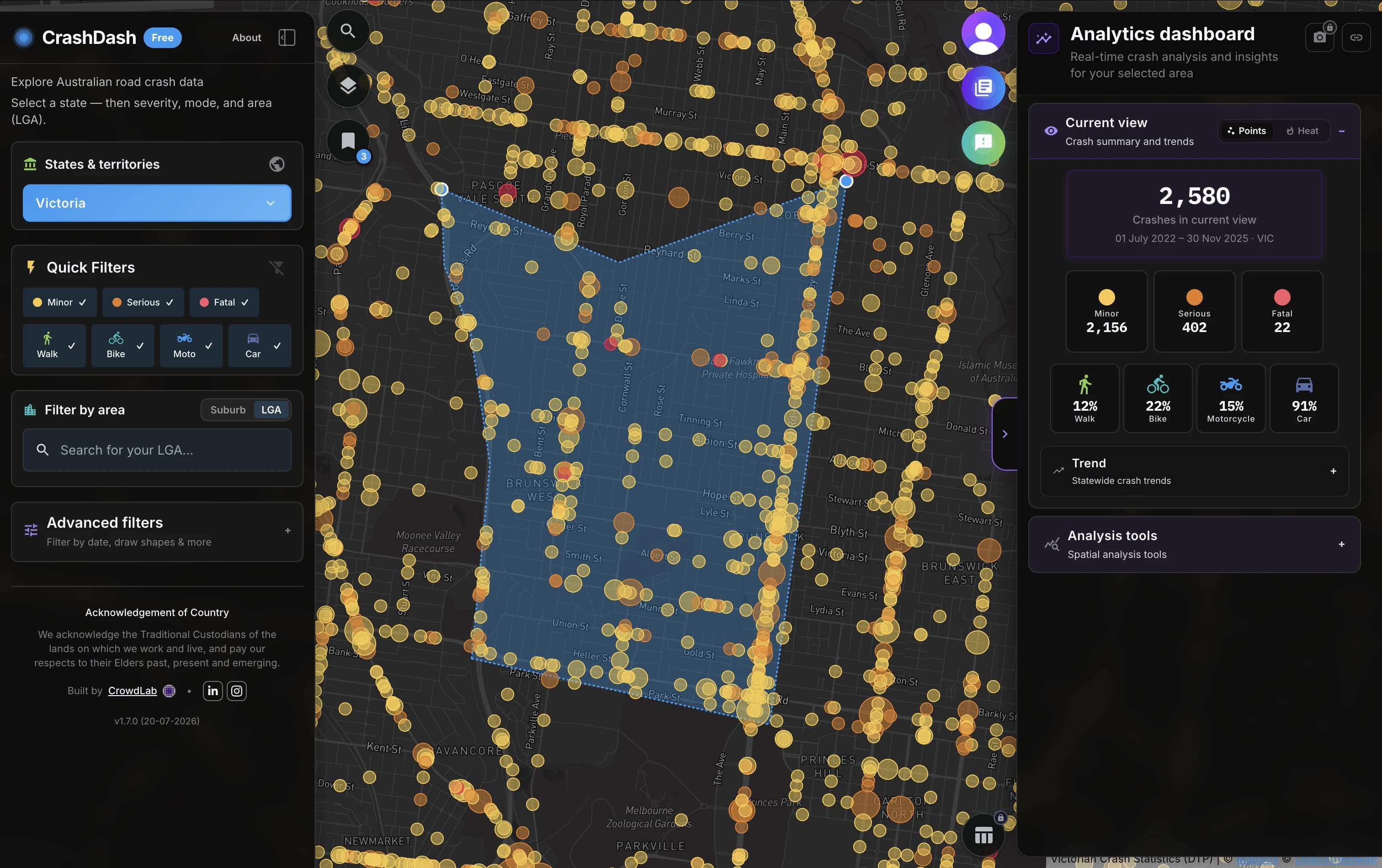
CrashDash
Explore Australian crash data with maps, filters, and analytics your road safety team can use without a specialist build.
Learn more →
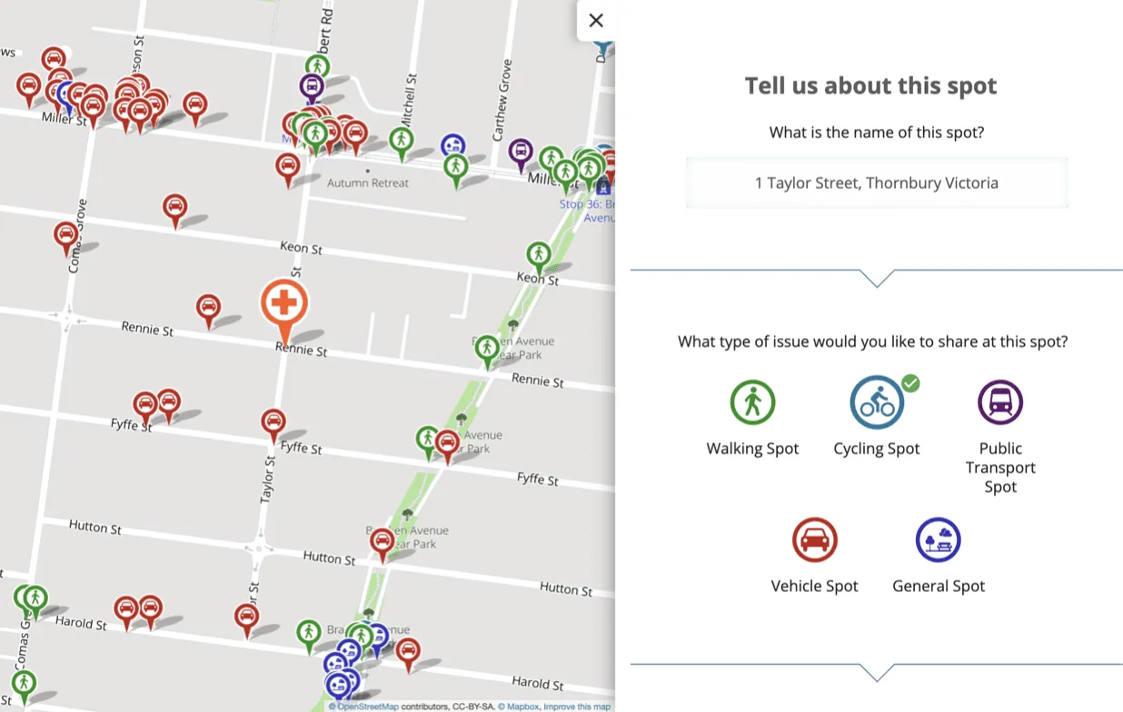
CrowdSpot
Map surveys that turn community input into spatial evidence for planning decisions.
Learn more →
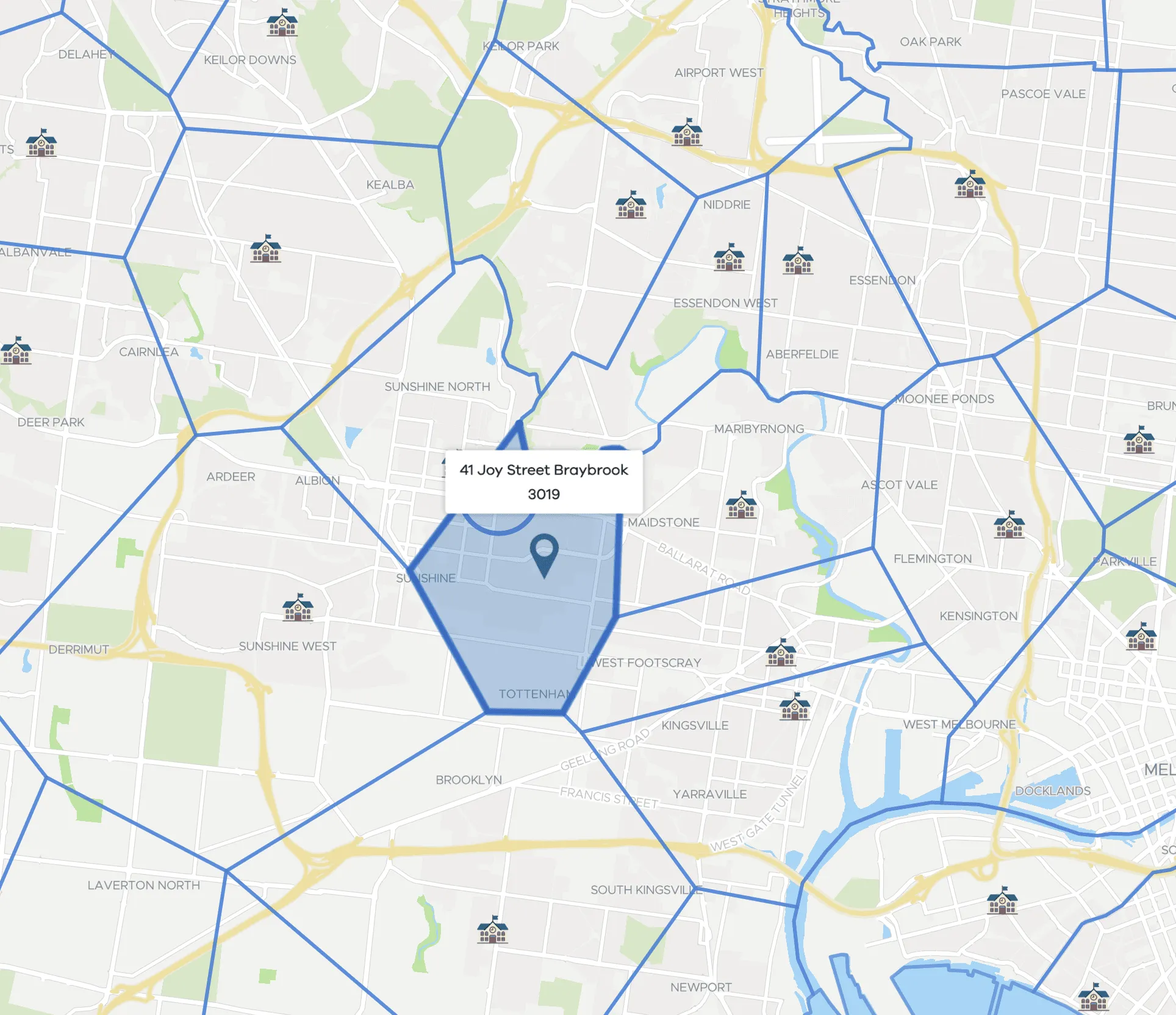
Find my School
Victorian school zones and catchments, used by DET and parents statewide.
Learn more →
Selected projects
We’ve helped councils, state agencies and researchers turn data into community-driven change.
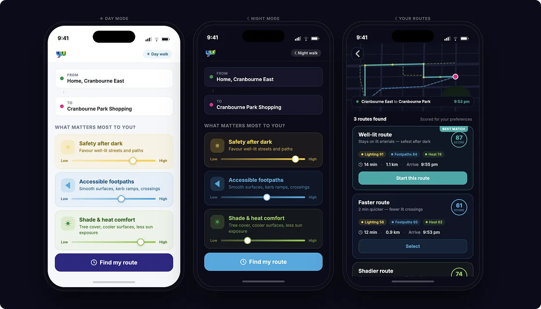
YourWalk
In-progress walking routes tool with Victorian council partners — preferences for safety, accessibility, and comfort on everyday trips.
In progress →

BikeSpot
Three waves of cycling safety crowd mapping — Melbourne 2016, Victoria 2020, and national BikeSpot 2023 — with 72,000+ submissions in the latest campaign alone.
Read case study →

RAC Risky Roads
Three CrowdSpot campaigns with RAC WA mapping frustrating and unsafe roads — more than 13,000 spots across the waves.
Read case study →
How we work with you
Whether you're applying for a grant, scoping a pilot, or scaling up a platform, we help shape the right solution for the brief.
Discovery
We start by listening. Together we clarify your goals, challenges, and audiences to ensure we're solving the right problem.
Co-Design + Prototyping
We collaborate through iterative design and feedback rounds to shape a tool or solution that fits the brief.
Launch + Support
Once launched, we provide support and guidance so your tool delivers value, and can keep evolving.
Ready for a discovery chat?
Start a discovery chatCrowdLab updates
Occasional email on new tools and projects — not the same as the blog. No spam.
Unsubscribe anytime. See Privacy. For essays and planning notes, read the blog.